side-area-logo

powered by Ids Georadar

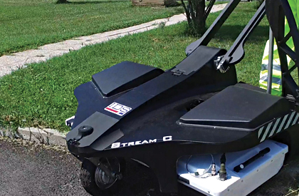
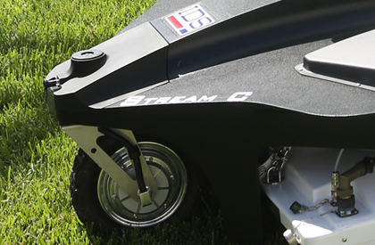
The new IDS GeoRadar masterpiece for utility detection and mapping

The compact solution for accurate 3D utility mapping
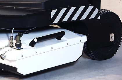
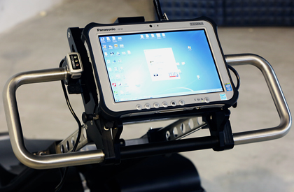
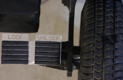
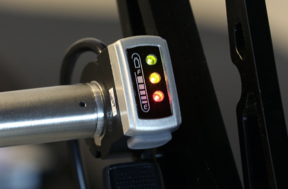
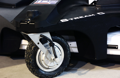
High productivity

Surveys only need to be performed in one direction to ensure optimal detection for both longitudinal and transversal pipes

Real time

3D utilities mapping performed in real time by automatic software tools “Automatic Pipe Detection”

Smart design

The Stream C radar can easily be towed by small vehicles or even hand pushed

Professional subsurface survey

Pipes, cables and buried objects can be automatically transferred to CAD and GIS formats allowing a complete subsurface GIS based digital map to be quickly produced

High maneuverability

System with a compact design suitable for use on narrow spaces and non asphalt surfaces

No advanced training needed

The system automatically detects and locates the position of pipes in real time and displays them on screen

Reduced user fatigue

Thanks to electronic ride height adjustment and a motor assisted  drive wheel

Robust construction

Built to the highest standards and with hardwearing materials so that it can be used in harsh, demanding environments

STREAM C GEORADAR

 CONTACT US FOR FURTHER INFORMATIONS
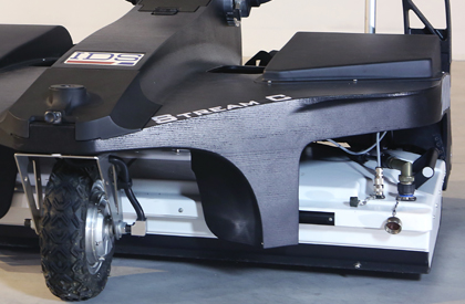
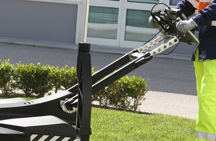
Fields marked with an * are required